
RIIM — Underground Utility Mapping | Bahrain & Saudi Arabia
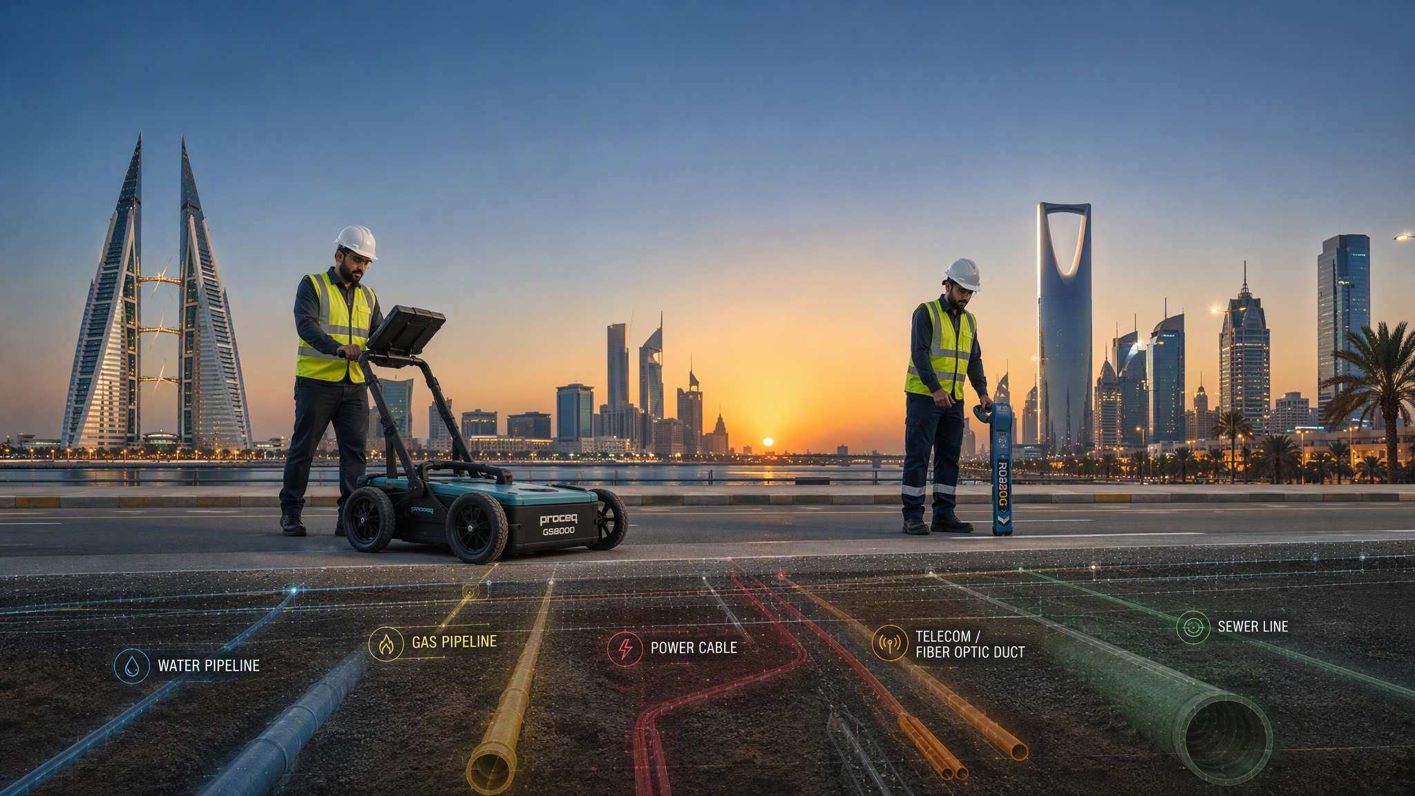
PAS-128 & ASCE 38-22 Compliant · Bahrain & Saudi Arabia
Underground Utility Mapping
Revealing What Lies Beneath
What We Do
Precision Subsurface Services
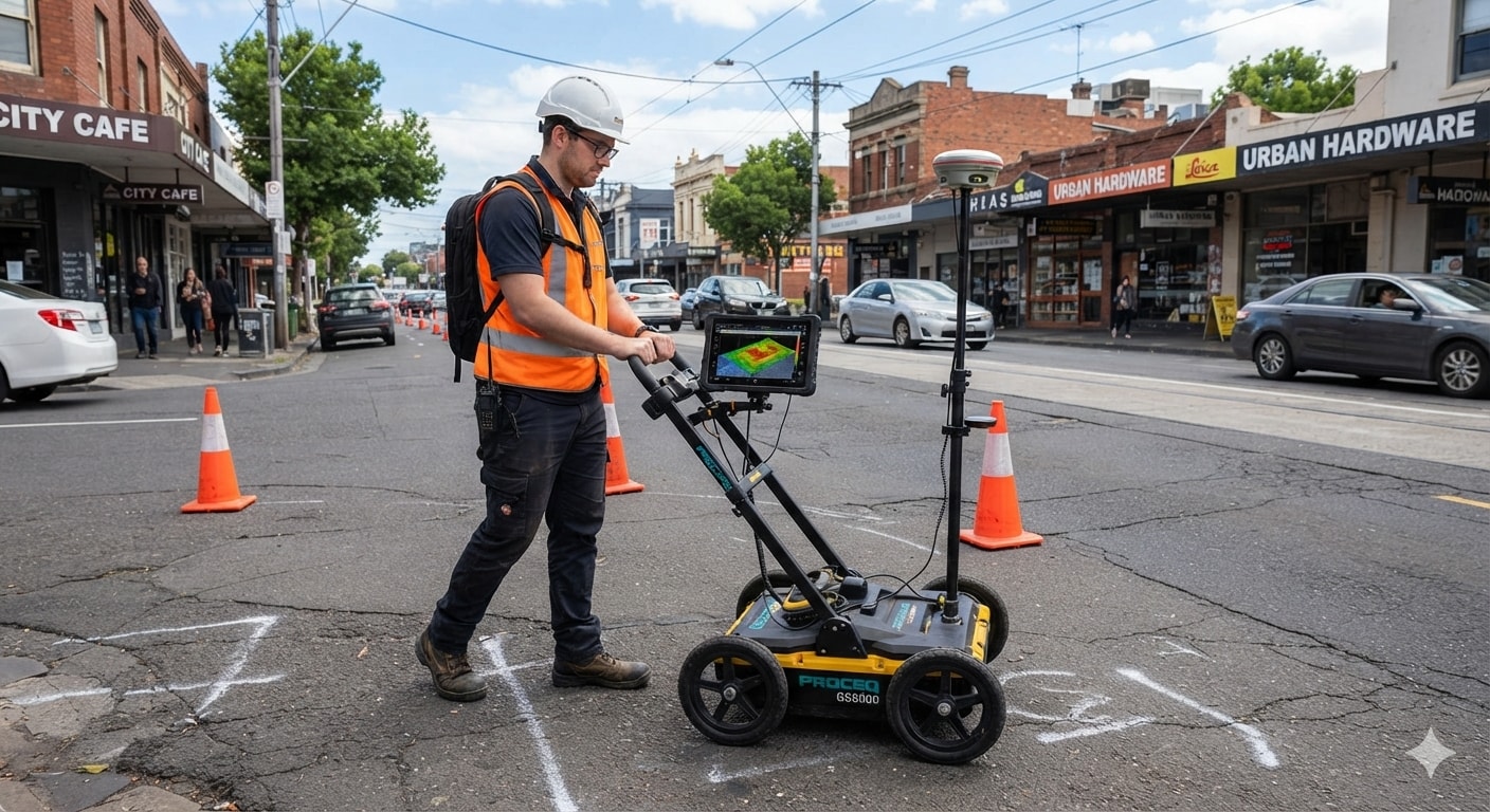
GPR Surveys
Ground Penetrating Radar surveys delivering sub-surface utility detection with centimetre-level accuracy — fully PAS-128 compliant.
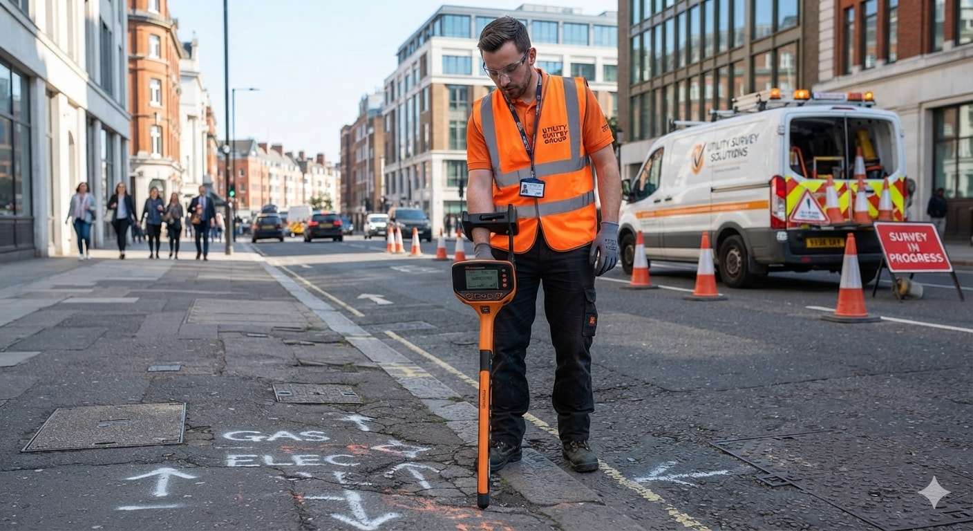
EPL Surveys
Electromagnetic Pipe & Cable Locating for live utility tracing, depth profiling, and conflict mapping across complex urban networks.

3D / 12D Modelling
Precision 3D and 12D utility models integrated into BIM workflows, enabling clash detection and informed infrastructure decisions.
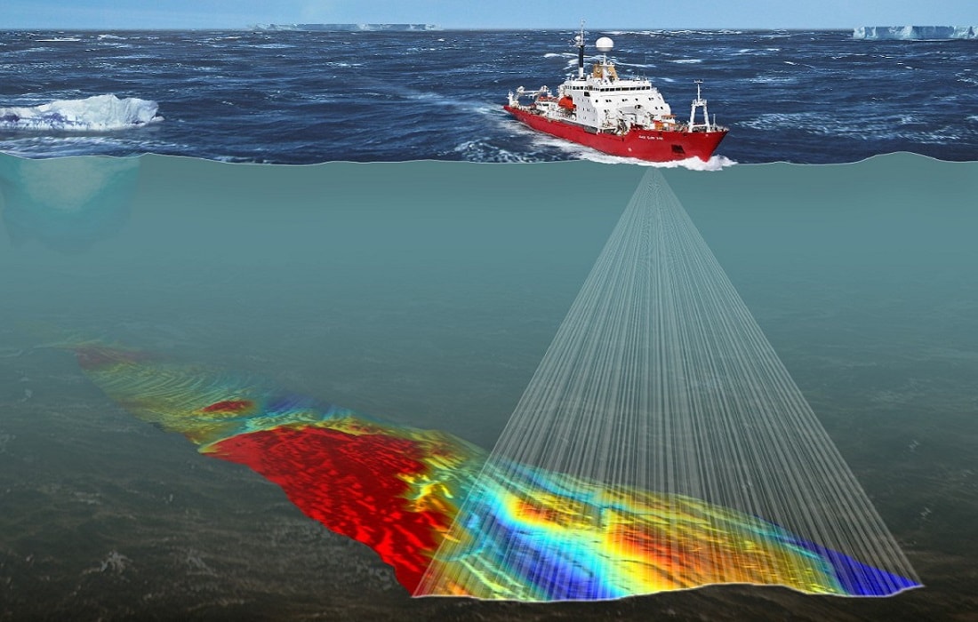
Marine Geophysics
Sub-bottom profiling, side-scan sonar, and seabed mapping for offshore and nearshore infrastructure projects.

Cavity Survey
Multi-method void and cavity detection using GPR, ERT, and microgravity — identifying subsurface hazards before they cause structural failure.

Gravity Survey
High-precision microgravity measurements to map geological structures, detect voids, and characterise subsurface density contrasts at depth.

MASW Survey
Multichannel Analysis of Surface Waves for non-invasive shear wave velocity profiling and seismic site classification.

Drone Survey
Centimetre-accuracy UAV aerial mapping, photogrammetry, and LiDAR surveys for rapid large-area topographic data capture.

ERT Survey
Electrical Resistivity Tomography producing detailed 2D and 3D subsurface resistivity images for geological, hydrogeological, and geohazard investigations.
The Stakes
Why Subsurface Utility Engineering Matters
Undetected underground utilities are one of the leading causes of construction fatalities, project delays, and cost overruns globally.
of utility strikes cause serious injury or death
Undetected utilities are a leading cause of construction fatalities worldwide
annual economic cost of utility strikes globally
Delays, repairs, and liability from utility damage cost the industry billions each year
more complex urban utility networks since 2000
Rapid urbanisation in the GCC has tripled subsurface complexity in two decades
Trusted by Industry Leaders
Ready to Start
Partner with RIIM
From initial desktop study to full SUE Level A excavation, RIIM delivers the intelligence your project needs to proceed safely and on schedule.
Contact Us