
RIIM Services — GPR, EPL, 3D Modelling & Marine Geophysics

What We Do
Precision Subsurface Services
From non-destructive geophysical detection to full 3D BIM integration and offshore marine surveys — RIIM delivers every level of subsurface utility intelligence your project demands.
Our service portfolio is built around the PAS-128 and ASCE 38-22 quality level framework. Whether you need a rapid desktop study or a comprehensive Quality Level A programme with physical exposure, RIIM has the technology, the accreditations, and the regional experience to deliver.
Our Capabilities
All Services
Overview
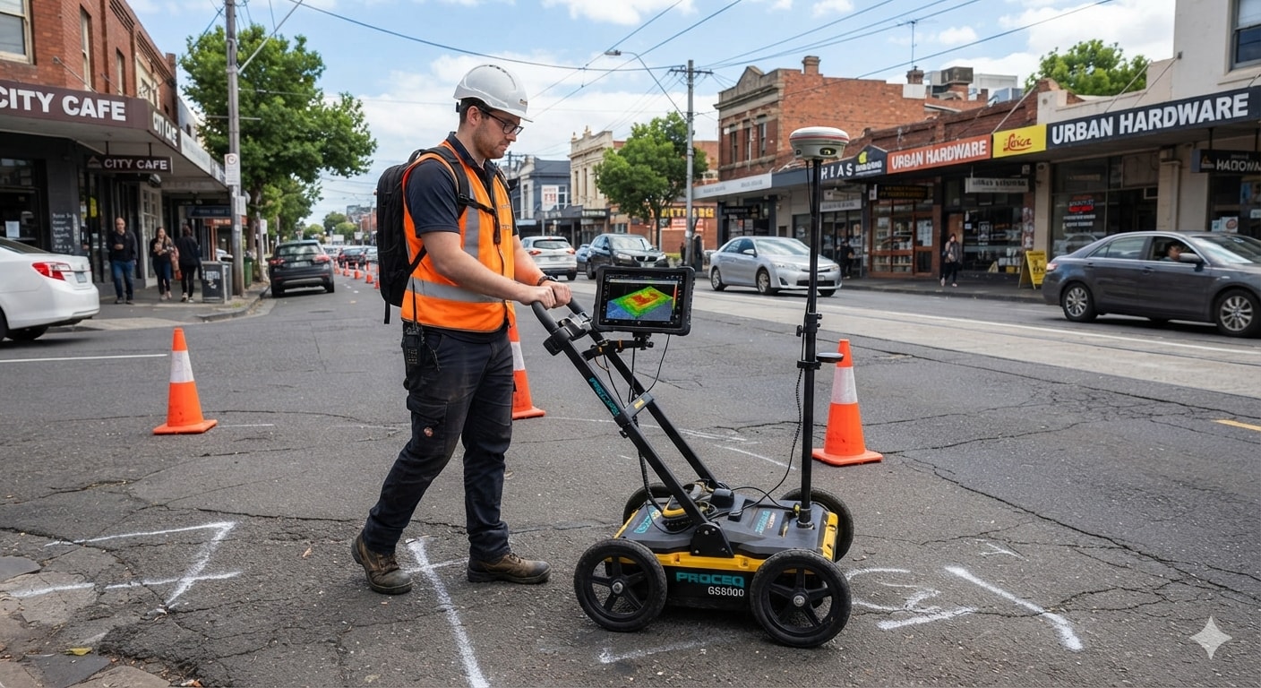
Ground Penetrating Radar is the cornerstone of modern subsurface utility engineering. RIIM deploys multi-frequency GPR systems to detect, map, and depth-profile buried utilities and subsurface anomalies across a wide range of ground conditions — all without a single excavation.
How It Works
GPR works by transmitting high-frequency electromagnetic pulses into the ground and recording the reflections from buried objects and layer boundaries. Different materials — metal, plastic, concrete, voids — produce distinct reflection signatures, allowing our engineers to identify utility type, depth, and horizontal position with centimetre-level accuracy.
Applications
- Pre-construction utility detection and conflict mapping
- Concrete scanning for rebar, post-tension cables, and voids
- Road and pavement layer thickness assessment
- Void and sinkhole detection beneath structures
- Archaeological and forensic subsurface investigation
- Oil and gas facility utility verification
Deliverables
- Georeferenced utility plan drawings (AutoCAD / GIS)
- Depth profiles and radargram data files
- PAS-128 / ASCE 38-22 compliant survey reports
- 3D point cloud utility models (on request)
- BIM-ready IFC / DWG utility layers
How We Work
Our Survey Process
Desk Study & Data Review
We gather all available utility records, drawings, and site information before mobilisation — establishing a baseline and identifying data gaps.
Site Mobilisation & Setup
Our survey teams mobilise with calibrated equipment, establish site control, and confirm health and safety protocols with the client.
Geophysical Data Acquisition
Field surveys are conducted using the appropriate combination of methods — GPR, EPL, ERT, seismic, or UAV — to the agreed quality level.
Data Processing & Interpretation
Raw geophysical data is processed, quality-checked, and interpreted by our specialist engineers to extract utility positions, depths, and anomalies.
Deliverable Production & Reporting
Final deliverables — drawings, models, and reports — are produced to PAS-128 / ASCE 38-22 standards and reviewed before client handover.
Ready to Start Your Survey?
Talk to our team about your project requirements. We'll recommend the right combination of methods and deliver results to the quality level your project demands.
Get in Touch